
Lake Okeechobee water level today: the official U.S. Army Corps of Engineers report for data ending October 7, 2026 lists the lake at 12.16 feet NGVD29. Because lake stage changes daily, use the official live sources linked below before boating, launching, or making navigation decisions.
For anglers, the number matters because Lake Okeechobee is shallow. Small changes in stage can affect boat access, exposed rock and shoal hazards, water clarity, vegetation, current, and which bass-holding areas are safely reachable.
Current Lake Okeechobee Water Level
- Official daily stage: 12.16 feet NGVD29 on the latest USACE report available October 8, 2026.
- Route 1 navigation depth: approximately 6.10 feet on the same USACE report.
- Route 2 navigation depth: approximately 4.30 feet on the same report.
- Important: USACE notes that reported navigation depths are averages across long channel reaches; actual depth varies by location.
Check the USACE Lake Okeechobee and Navigation Report for the latest official daily stage, and use the South Florida Water Management District real-time water-level tools for current regional conditions.
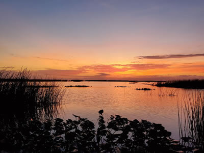
What the Current Water Level Means for Fishing
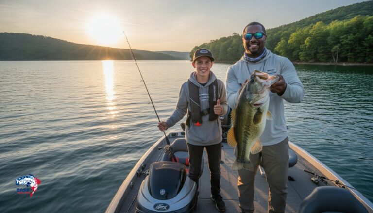
FWC reported that Lake Okeechobee remained relatively low in September 2026 and warned boaters to watch for rock hazards and shallow areas of the marsh. The agency also noted that submerged and emergent vegetation was returning as a result of the lower water, creating productive habitat for pre-spawn Florida largemouth bass.
- Lower water: can concentrate fish, expose hard bottom and improve some vegetation, but it can also make access routes shallower and less forgiving.
- Rising water: can spread fish into newly flooded cover and expand shoreline habitat, while also changing water color and current patterns.
- Wind matters: on a lake this broad and shallow, wind can move water locally and change how a productive grass edge or bay fishes from one day to the next.
For current fishing conditions, pair the water-level data with the FWC Lake Okeechobee fishing forecast. For trip planning, our Lake Okeechobee fishing guide connects the lake stage with access areas, seasons, species and local guides.
Why Lake Okeechobee Water Levels Change
Lake Okeechobee stage is influenced by rainfall across the Kissimmee-Okeechobee watershed, inflows from the Kissimmee River and surrounding basins, evaporation and evapotranspiration, water-supply needs, flood-control operations, and releases or flows through the managed South Florida water system. That is why a simple calendar rule such as “winter is always high” or “summer is always rising” can be misleading.
The lake commonly moves through seasonal wet- and dry-period trends, but tropical systems, drought, regional rainfall and operational decisions can push a given year far away from a typical pattern. The most useful number is therefore the current official stage—not an old seasonal average copied from a previous year.
NGVD29 vs. NAVD88: Why Two Water-Level Numbers Can Be Correct
Lake Okeechobee water levels are reported using vertical datums. USACE commonly publishes the lake stage in NGVD29, while SFWMD has transitioned much of its monitoring network to NAVD88. These are different elevation reference systems, so the numerical readings are not supposed to match exactly even when they describe the same physical water surface.
SFWMD explains that NAVD88 readings in its region are generally lower than older NGVD29 readings. When comparing charts, forecasts or historical records, always verify which datum the source is using before deciding that two reports conflict.
Navigation, Locks and Low-Water Safety
Water level is not just an SEO statistic—it is a boating-safety issue. In 2026, low water forced temporary closures or reduced operations at several Lake Okeechobee north-shore navigation locks. SFWMD currently reports the S-193 Taylor Creek lock open on weekends only, while several other north-shore locks remain closed until water levels recover to their operating criteria.
Before running unfamiliar water, review the SFWMD navigation notices, the USACE navigation report and current charts. A professional local captain is especially valuable when low water changes normal routes, cuts and marsh access.
Water Levels, Lake Health and the South Florida System
Lake Okeechobee is part of the larger Kissimmee-Okeechobee-Everglades system and serves multiple purposes, including fish and wildlife habitat, water supply, flood-risk management, recreation and navigation. Managing the lake therefore involves tradeoffs between ecological needs, regional water supply, flood control and downstream conditions.
The current Lake Okeechobee System Operating Manual (LOSOM) guides federal lake operations. SFWMD also publishes technical summaries, hydrologic outlooks and real-time monitoring data that help explain how rainfall, storage, inflows, releases and ecological conditions are changing.
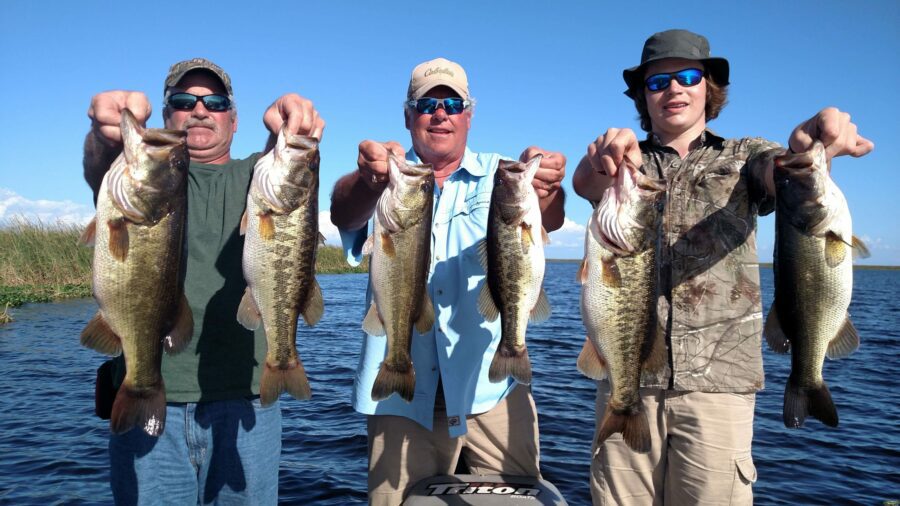
How Anglers Should Use Lake-Level Data
- Check the official stage before the trip, not just when you book.
- Look at the recent trend—rising, falling or stable—not only the single daily number.
- Match the stage with wind, water color, vegetation and seasonal bass movement.
- Verify lock status and navigation notices if your route depends on controlled access.
- When the lake is unusually low or you are unfamiliar with the area, use local knowledge rather than assuming an old route or waypoint is safe.
Lake Okeechobee is always changing, and that is part of what makes it such a productive and challenging fishery. Use the official data first, then apply it to the lake in front of you. If you are planning a guided trip, review current Lake Okeechobee fishing charters and discuss water level, launch area and current conditions with your assigned captain.