California is home to several outstanding natural lakes with record-breaking dimensions that attract many visitors to enjoy their beauty. Many man-made reservoirs are just as attractive to visitors.
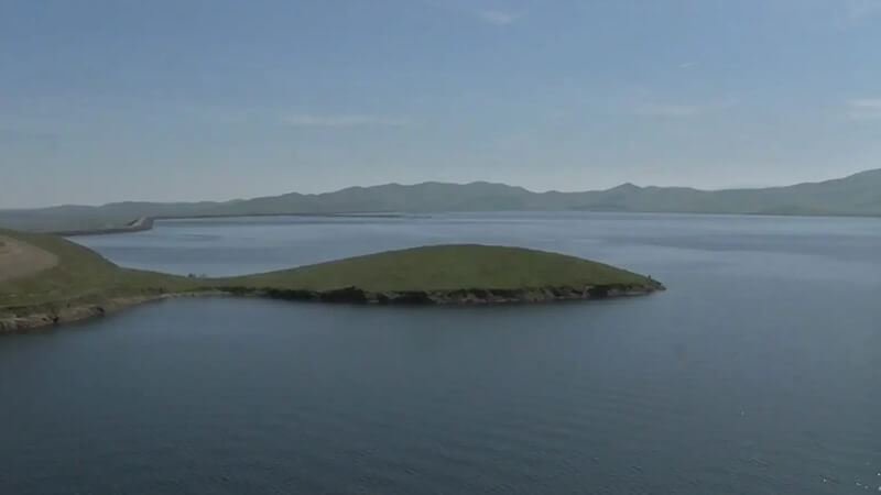
Only 120 miles from San Francisco, you can enjoy a day on the shoreline of the San Luis Reservoir, CA. The San Luis Reservoir offers a lot to offer, with a maximum depth that can reach 270 feet.
San Luis Reservoir State Recreation Area
The San Luis Reservoir State Recreation Area is found in the San Joaquin Valley and is a popular destination among visitors. The Romero visitor center offers information on a diverse selection of outdoor activities that attract visitors to this area.
This area includes the lakes of the San Luis Reservoir, the Los Banos Creek Reservoir, and O’Neill Forebay.
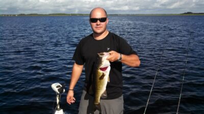
Fishing in San Luis Reservoir
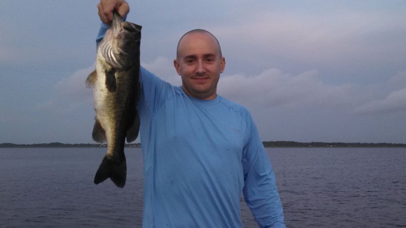
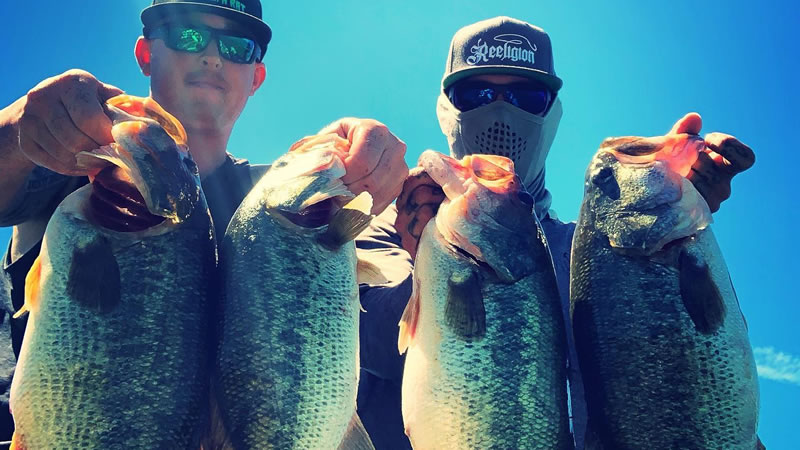
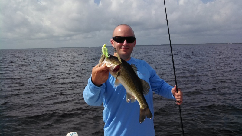
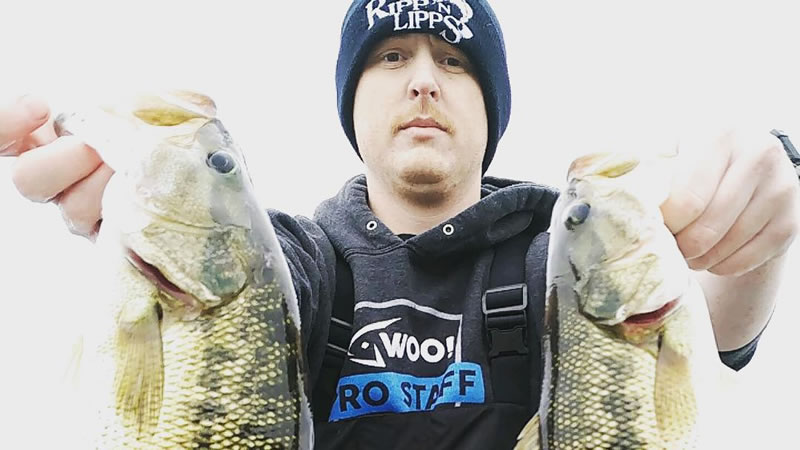
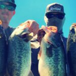
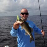
Fishing at San Luis Reservoir is popular among anglers. Numerous diverse fish species can be found swimming in these waters.
Some popular fish include striped bass, perch, catfish, white and black crappie, rainbow trout, largemouth bass, sunfish, and bluegill. Salmon and sturgeon can also be found on rare occasions.
Several San Luis reservoir fishing spots are favorites among anglers.
San Luis Dam
The San Luis Dam is located on the east side of the lake and has a steep and rocky bank. High winds are present in this part of the lake, so caution is advised.
Anglers have caught trout and striped bass at Romero, but crappie, largemouth bass, and catfish can also be found along the dam.
Recommended Baits
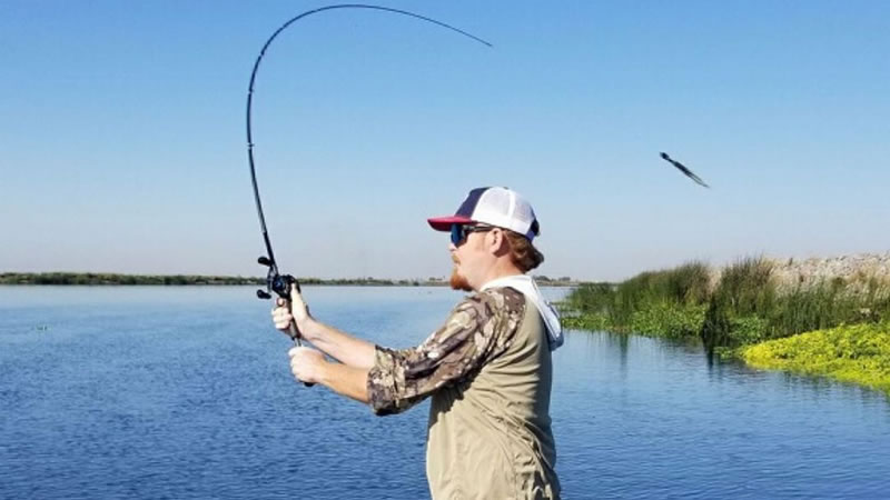
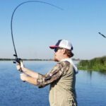
You can choose to go boat or kayak fishing, but you can also select one of the fishing spots on the shoreline.
Inline spinners, flatfish, trolling umbrella rigs, spoons, and fish attractors are just some of the baits you can use for this area.
Dinosaur Point
This open bay area is a paradise for fishermen. The main creek channels and small ditches are among the many popular fishing spots in the area.
Main lake points are created when the creek channels drain from the bay and into the main lake.
Check the ridges and high rocky spots in the Dinosaur Point area, where you will find largemouth bass, channel catfish, and crappie fish species.
Recommended Baits
You can use the recommended baits on the lake’s north and west sides, which include frog lures, crankbaits, jerk baits, hair, swim, or underspin jigs.
You can use topwater lures and buzz baits when the bass is aggressive.
Cottonwood Creek
Because the bank is made of chunky, steep rocks, the best fishing spots are boulder piles, cuts, and areas where large rocks transition to smaller ones. This is the natural habitat for minnows, crawfish, and bluegill.
The north lake end is also home to striped bass, crappie, largemouth bass, and catfish.
Recommended baits
The best way to fish in this area is from a boat or kayak, using standard effective baits like spinnerbaits, umbrella rigs, topwater lures, and others. On the other hand, if the bass is close to the rocks and the lake water is calm, use slow-moving baits. This includes Texas, Caroline, Neko, wacky rigs, drop shot, or football jigs.
Honker Bay
An open bay with a large creek channel and many small ditches. Spring is ideal for fishing in this area because the water levels are high.
Also located on the lake’s northwest side, it is rich in species like striped bass, largemouth bass, crappie, and catfish.
Recommended baits
The baits you can use are the same as those used for the fish in Dinosaur Point. Soft plastic swimbaits, buzz baits, and chatter baits, to mention a few.
Flutter spoons will work if you select fishing spots with vertical timber.
Fishing Access Points
If you are organizing a weekend of camping, boating, and fishing, there are two boating access points in the San Luis Reservoir, CA.
The Dinosaur Point State Park Entrance is considered the primary boating access. It consists of a boat ramp and other useful facilities. On the south side, there is the Basalt campground, which has another boat launch ramp.
Fishing Spots on the South Shoreline
The south shoreline also has many popular fishing locations like Goosehead Point, Willow Springs Bay, and Loan Oak Bay on the west side.
Rainbow trout, striped bass, crappie, and catfish are the most popular fish species that can be found in this part of the San Luis Reservoir.
The south and west sides of the San Luis Lake are excellent for shoreline fishing, as well as for boat and kayak fishing.
San Luis Reservoir History
The reservoir area was once home to distinct Yokuts native groups who fished and hunted to feed their families. They fed on salmon, waterfowl, tule elk, and pronghorns, and harvested seeds, roots, and acorns along the San Joaquin River.
With the arrival of Europeans, the native people were pushed off their lands and forced to fight back by organizing cattle raids.
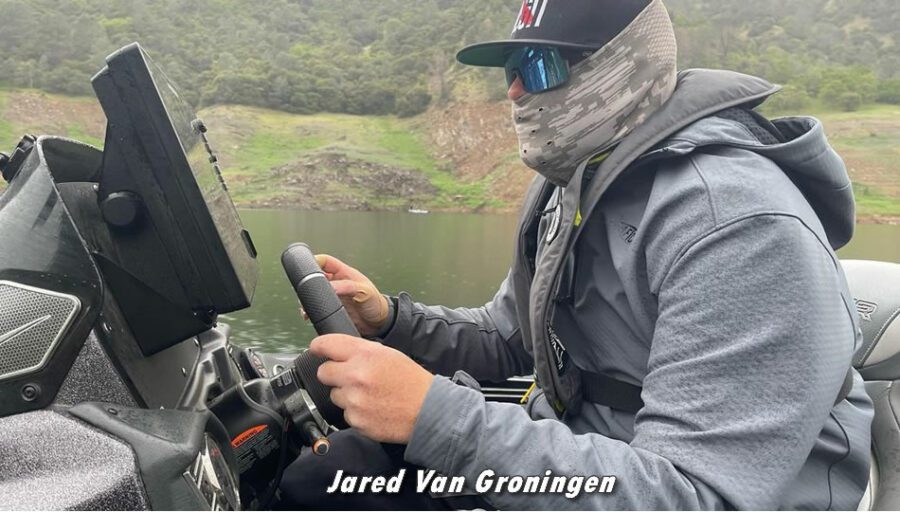
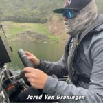
San Luis Reservoir Charter Captains
To see a complete list of excellent California Fishing Guides, please click here!
Recreational Activities
Swimming, horseback riding, hiking, biking, wildlife viewing, and camping are just a few of the things you can do here.
The reservoir state recreation area is also popular among anglers, offering unforgettable fishing adventures.
Camping
Visitors can choose from the Basalt campground, San Luis Creek, Los Banos Creek, and Medeiros campgrounds. The latter campgrounds operate on a first-come, first-served basis, while a reservation is needed for setting up your tent or parking an RV in the former campgrounds.
Every campground is equipped with restrooms and showers, and all have drinking water.
The Romero visitor center will provide information on camping facilities near the lake, spots for RV hookups, and regulations for trailers and campers.
Swimming
Swimming is allowed in the North Beach area of San Luis Creek, which is also the only roped area where you can swim in peace.
Since there are no lifeguards anywhere in the San Luis Reservoir SRA, swimmers are advised to follow the strict rules set by authorities.
Caution is advised if swimming throughout the park because of the increased number of boats moving around. Diving of any kind is not allowed in the lake.
Boating
If you decide to spend the day boating, make sure to follow the instructions. Stay 500 feet away from water structures and dams, and be sure to keep to the speed limits. All boats are inspected before entering the parking area to make sure there aren’t any invasive species introduced to the area.
If you want to enjoy your time on the water with your family, be sure to provide each passenger with a personal flotation device. This is because there are frequent winds in the area.
Hunting in San Luis Reservoir Ca
For those who are more into hunting as a recreational activity, contact the local authorities to find out the regulations.
Shotguns are the only weapons allowed, and you will need a license for in-season waterfowl hunting.
Hunting is prohibited near the dam, boat ramp areas, water structures, or where visitors relax.
Consult a visitor center to learn where you can get more information from the California Department of Parks and Recreation.
Other Outdoor Activities
If you don’t wish to use this California State water project reservoir for camping or hunting, you can always enjoy a day of fishing with your family and friends.
Rainbow trout, black crappie, channel catfish, striped bass, and catfish are the most popular California fish species that can be found in the lakes.
The frequent winds in the San Luis Reservoir and O’Neill Forebay make them excellent locations for board sailors.
For those who won’t use the available water resources, you can enjoy one of the many picnic areas in the park or get caught up in a romantic evening of stargazing.
Must-Know Lake Warnings
San Luis Reservoir is a popular summer weekend destination among visitors. However, as a Central Valley Project managed by the California Department of Water Resources and the Bureau of Reclamation, the reservoir has strict rules that must be followed.
The San Luis Reservoir area has experienced sudden, dangerous wind events and water level fluctuations.
All are planning to go boating and need to check the weather.
Warning Lights
The authorities will use the warning lights to signal that wind danger is approaching. Several wind warning lights can be found at the Quien Sabe Point, the Romero Overlook, and the Basalt campground.
The yellow flashing light warns boaters of winds in the reservoir area. If you see a red flashing light, the winds are too strong and dangerous, and the lake and forebay are closed.
No boats are allowed in the water when the red lights are on.
Boat Speed Limits
Boaters cannot exceed the five mph speed limit restriction for the whole Los Banos Creek Reservoir. A 10 mph speed is allowed for the O’Neill Forebay and the main reservoir.
Water Fluctuations
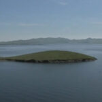
Like other water resources, the lake level in the San Luis Reservoir in CA tends to fluctuate. These fluctuations can be dangerous because they turn the deep areas into shallow ones and uncover islands you may not have seen before.
San Luis Reservoir Map
Agricultural Awakening
Gold diggers soon occupied the land on a mission to get rich, but realizing it was too much work for little benefit, they turned to farming. Because the lands were arid, they had to rely mostly on rain.
The irrigation canal built in the late 1800s started an agricultural boom. It led to many irrigation and flood-control projects and the construction of man-made reservoirs in the area.
Today, the region is exceptionally fertile and one of the country’s most diverse farming areas.
The Birth of the San Luis Reservoir
The project that enabled farmers to use sophisticated drip irrigation systems was completed in 1967.
The San Luis Reservoir is a joint venture between the Central Valley Project and the California State Water Project.
The fifth-largest reservoir in California, San Luis Reservoir, is located just 10 miles west of Los Banos in Merced County. It was a wise decision to construct this Central Valley project because it caught the winter flows that were constantly lost to the Pacific.
If you are interested in learning more about the reservoir’s rich history, you can visit the Romero Visitor Center.
The San Luis Reservoir surface lies at an elevation of 544 ft above sea level, while the O’Neill Forebay’s surface is 225 ft above sea level.
The San Luis Reservoir is located in west-central California.
The California State Parks, the California Department of Water Resources, and the Bureau of Reclamation are among the many partners that help regulate operations at San Luis Reservoir.
Contact them or the Romero visitor center for any questions related to visiting the lake, camping, or going fishing.
Final Thoughts
The San Luis Reservoir in CA is a beautiful place that offers visitors a wide range of fun outdoor activities. Go fishing, camping, swimming, hiking, and have fun with your family and friends. The easy highway access will open up the diverse world of the San Luis reservoir.