 Guides Wanted
San Joaquin River
1 Reviews
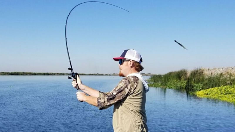
Quick Summary
San Joaquin River fishing changes from Sierra headwaters to Central Valley reaches and the California Delta. Modesto is a regional travel base, while the Delta guide options on this page cover a different part of the system. Match the species, legal access and current regulations to the exact reach before booking.
Top Fishing Guides on San Joaquin River
Guides WantedSan Joaquin River Reviews
Top Target Species on San Joaquin River
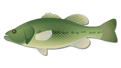
Largemouth Bass
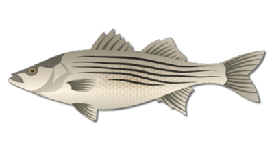
Striped Bass
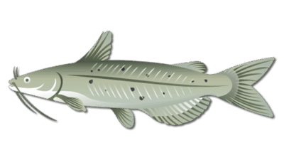
Channel Catfish
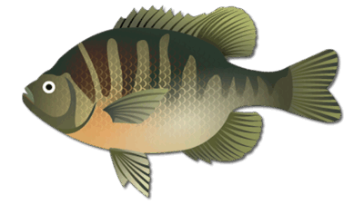
Bluegill
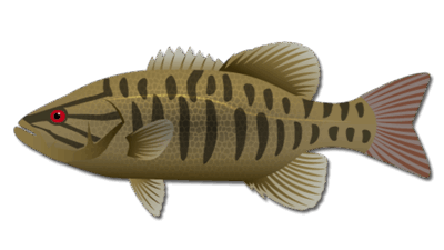
Smallmouth Bass
Nearby Cities to San Joaquin River

Frequently Asked Questions about San Joaquin River
Where does San Joaquin River fishing take place?
The system includes Sierra headwaters, Central Valley reaches and Delta-connected lower water. Choose the exact reach and access point before planning tackle or travel.
Is Modesto the meeting point for every trip?
No. Modesto is a regional travel base. Delta guide options may meet elsewhere; confirm the exact launch with the operator.
What fish can I target in the lower river and Delta?
Bass, striped bass, catfish and panfish can be relevant depending on the reach and conditions. Confirm the proposed trip’s species focus with the operator.
Can I assume salmon fishing is open?
No. Check current CDFW rules and emergency changes for the exact reach and species. River restoration activity does not establish an open fishing season.
Do all river forks share the same fishing season?
No. Named reaches and species can have different regulations. Check the applicable rules rather than applying one opening date or closure to the entire system.
Fishing San Joaquin River
The San Joaquin River is a varied California river system, rather than one fishing spot with a single set of tactics. This guide covers the distinction between Sierra headwaters, Central Valley reaches and the lower river’s connection to the California Delta. Modesto is a regional travel base; a Delta trip may meet well away from the city.
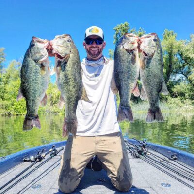
Before selecting a trip, name the exact river reach, target species and access point. The San Joaquin River guide listings include regional coverage that needs to be confirmed with the operator. The existing Delta photographs illustrate that lower-system setting and should not be read as photographs of mountain trout water.
Choose the reach before choosing tackle
The river’s upper forks and mountain tributaries have different conditions from the lower river and Delta. Do not apply a warmwater bass plan, a universal April opening date or an assumed autumn closure to every fork. For a headwater outing, identify the named water, legal route and applicable trout rules before traveling.
In Central Valley warmwater reaches, current, depth, cover and lawful access shape the options for bass, catfish and panfish. Compare a sheltered current edge or covered bank with deeper adjacent water, and adjust lure weight to the flow. A bridge or road near the river does not establish permission to enter private land.
In the Delta, anglers may plan around largemouth bass or striped bass, depending on the chosen area, season and operator. Channels, sloughs, tides and boating traffic affect the route. Ask whether the trip is a bass outing with artificial lures or a different species-focused service.
Seasonal fishing and current conditions
Spring and fall provide useful starting periods for exploring lower-system bass fishing, but water temperature, current and clarity determine the approach on the day. Soft plastics can help work cover carefully; moving baits can help search when fish are feeding. In summer, plan for heat, sun and a practical launch time. In winter, check weather and exposed boat travel as well as fish activity.
Salmon or steelhead should never be assumed to be available because they are associated with the river system. Consult the current reach-specific rules and any emergency changes. A river’s restoration role does not establish an open recreational season.
Tributaries and river restoration
The Merced, Tuolumne and Stanislaus rivers are important tributaries. Treat each as its own trip-planning destination, with separate access and regulations. Mountain recreation around the watershed can be an alternative activity, but it should not be confused with a booked Delta fishing route.
The San Joaquin River Restoration Program focuses on restoring flows and a self-sustaining Chinook salmon population between Friant Dam and the Merced River confluence while addressing water-supply impacts. Its river conditions and field advisories can help explain work in that corridor; they do not replace fishing regulations or access permission.
Access, licenses and booking
Use CDFW’s current fishing regulations to locate rules for the named reach and species. Check the license requirements, permitted methods and any special restrictions before setting out. Review fish-consumption advice if you intend to keep fish.
Confirm launch permission, parking, travel time and boat suitability with the operator. Ask what tackle is included, what the outing will target and how weather or unsafe flows affect the plan. Families and beginners should discuss ages, mobility and the desired pace before booking.
Keep the proposed meeting point and trip destination in writing. “San Joaquin River” covers too much territory to serve as a precise travel instruction, and a regional guide card does not promise access to every part of the watershed.
Featured Post for San Joaquin River