 Great For Kids


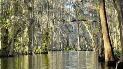
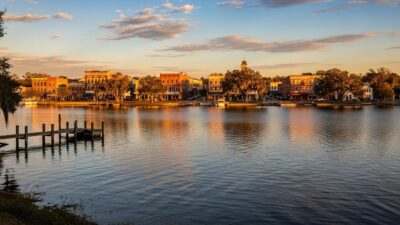
The Lake County Water Atlas maps Lake Dora at 4,385 acres between Mount Dora and Tavares. It belongs to the Harris Chain within the Ocklawaha River watershed. The shoreline, vegetation and connected waterways give anglers different ways to plan a bass outing, but wind, water levels and access conditions should guide the day’s route.
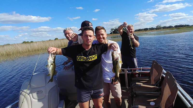
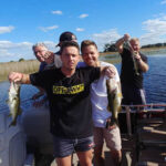
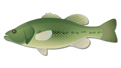
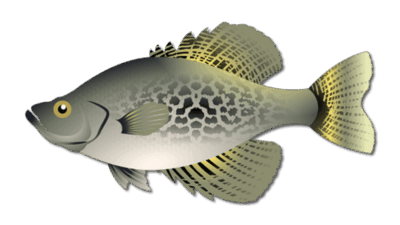
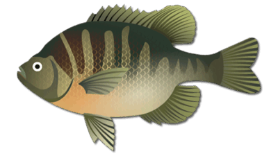
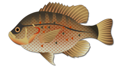
Start a largemouth bass search around vegetation edges, docks and changes in shoreline cover. Move with the season: fish quieter, protected water during harsh wind, and adapt to current light and water conditions. Bluegill, redear sunfish and crappie are additional freshwater targets. These are planning patterns, not a promise of catch at a particular spot.
Confirm the launch you intend to use and any local boating notices before setting out. FWC’s Harris Chain fishery page provides regional fishing context, and its freshwater regulations cover current statewide requirements and links to special rules. A guide carousel can help compare area captains; check a live product for the exact lake, date, price and meeting point before booking.