 Best Seller
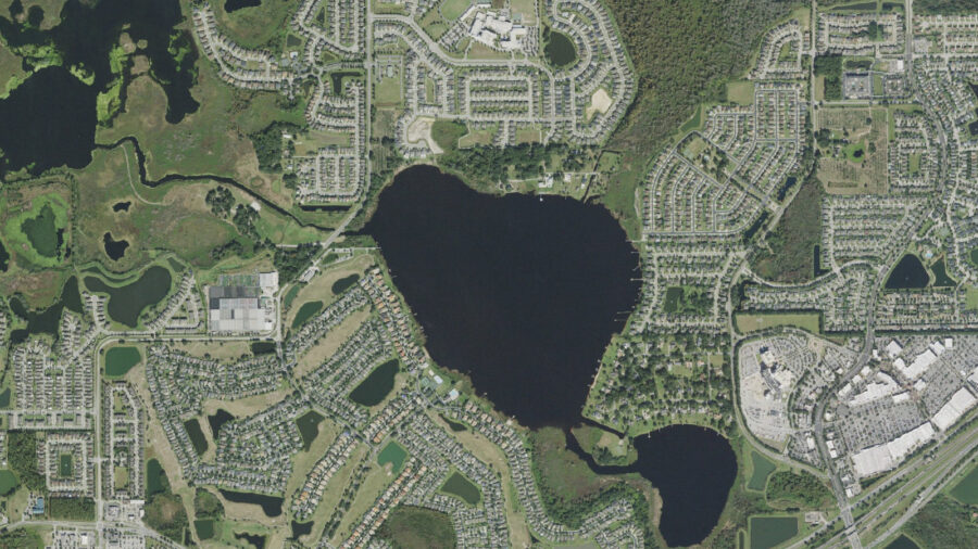
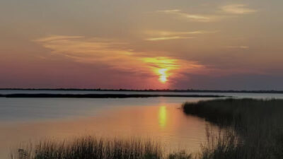

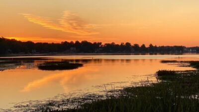
Black Lake in Winter Garden is a freshwater lake in Orange County, Florida. The Orange County Water Atlas Black Lake profile reports 233 acres and identifies the Lake Apopka watershed. Use this Winter Garden location when planning; Florida has other waters named Black Lake.
The Water Atlas places the lake near latitude 28.52735 and longitude −81.60156. The aerial overview shows its shoreline, neighboring development and connecting water features. Nearby Winter Garden is the planning city for this page. A lake name or map pin alone does not establish permission to reach the water.
A public boat launch or unrestricted shoreline access has not been verified for this lake. Obtain permission for the property you intend to use, observe posted restrictions and confirm any launch arrangements with the owner or operator before traveling. Residential shoreline, a visible dock or a connection shown on a map does not grant public access.
No lake-specific booking product is installed here. If you enquire about a guide, ask for confirmation that the operator can legally access this particular Black Lake. The guide section may show a recruitment card while a local service is not listed.
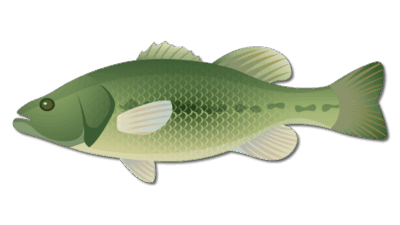
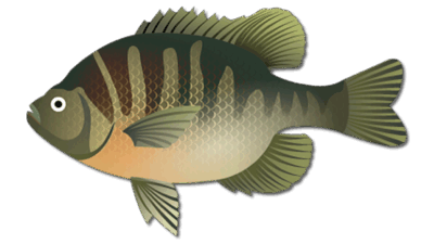
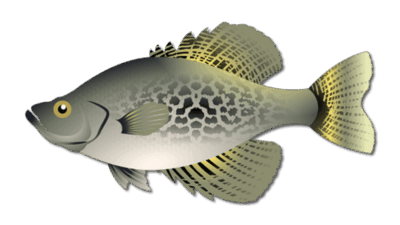
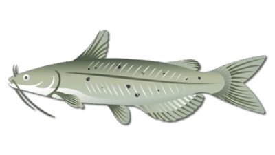
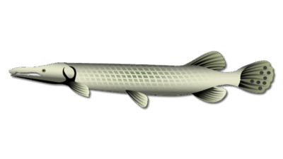
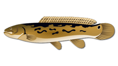
The species cards provide regional freshwater identification and planning information, including largemouth bass, bluegill, crappie and channel catfish. They are not a current lake survey or a catch forecast. Confirm the species being targeted with someone who has lawful access and current local knowledge.
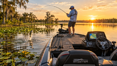
Where fishing is permitted, consider vegetation edges, shade and shoreline structure, and adjust lure or bait choice to water clarity and conditions. Choose tackle for the target species rather than assuming a reported catch rate. Weather, access and fishing pressure can change the practical plan.
Read current FWC Florida freshwater regulations for license requirements, exemptions, gear and harvest rules. A state fishing license does not supply access permission for private property.
Image credit: USDA and USGS The National Map, public-domain CONUS orthoimagery. The aerial is a geographic reference, not a current fishing report, navigation chart or statement of access rights.