 Guides Wanted
Apalachicola River

0 Reviews
Quick Summary
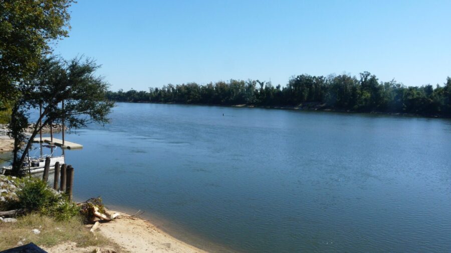
The Apalachicola River runs 106 miles from Lake Seminole to Apalachicola Bay. Upper freshwater reaches hold bass, panfish and catfish; lower channels respond to tides and river flow. Confirm access, current rules and guide coverage for the reach you plan to fish.
Top Fishing Guides on Apalachicola River
Guides WantedApalachicola River Reviews
Top Target Species on Apalachicola River
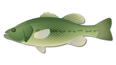
Largemouth Bass
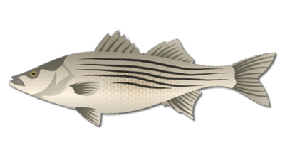
Striped Bass
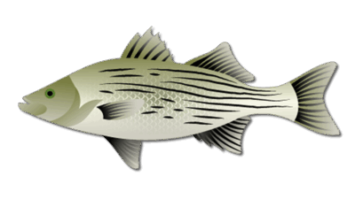
Sunshine Bass

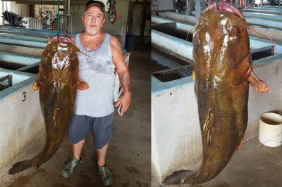
Flathead Catfish
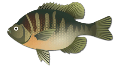
Bluegill
Frequently Asked Questions about Apalachicola River
Where does the Apalachicola River begin and end?
FWC describes a 106-mile river beginning at Lake Seminole near Chattahoochee and flowing through the Florida Panhandle to Apalachicola Bay.
What fish are in the Apalachicola River?
Upper reaches offer largemouth bass, striped and sunshine bass, panfish, and catfish. Lower reaches can also hold coastal species where river flow and tides create a mixing zone.
Where can I access the river?
FWC lists several upper landings and lower options including Apalachicola City Dock, Gardner Landing, and Cash Creek. Check current ramp and river conditions before travel.
Is the Apalachicola River freshwater or saltwater?
The upper river is freshwater. The lower river is tidally influenced near Apalachicola Bay, and the mixing zone changes with flow and season. Check rules for your exact location and target species.
Fishing Apalachicola River
The Apalachicola River runs from Lake Seminole at the Florida–Georgia line near Chattahoochee through the Panhandle to Apalachicola Bay. The Florida Fish and Wildlife Conservation Commission (FWC) describes a 106-mile river with distinct upper and lower fishing areas. The upper reach responds to releases from Jim Woodruff Dam; the lower river and delta are influenced by tides and the bay. This river does not have one meaningful “lake size” in acres.
Upper Apalachicola River fishing
FWC identifies striped bass, sunshine bass, largemouth bass, panfish, and flathead catfish in the upper system. The tailrace, channels, sandbars, and submerged structure demand different approaches as flow and water temperature change. Check current dam releases and local conditions before planning a launch or bank-fishing location. A historical pattern is useful for preparation but cannot promise a bite on your date.
Lower river and tidal transition
Near Apalachicola, the river spreads into channels and distributaries. FWC notes that the freshwater and saltwater mixing zone moves with flow and season. Largemouth bass and panfish may shift toward creeks as salinity rises, while coastal species can move into lower channels. Choose the reach and target species before selecting tackle, license information, or a guide.
Access and responsible planning
FWC lists upper-river shore access near Jim Woodruff Dam and landings at Chattahoochee, Sneads, Aspalaga, and Ocheesee. On the lower river, public options include the Apalachicola City Dock, Gardner Landing, and Cash Creek. The U.S. Forest Service river overview adds regional context. Verify ramp status, river stage, current, and weather before launching; a long river cannot be represented by one universal meeting point.
Rules and guide availability
Consult current freshwater regulations and the relevant saltwater rules for the exact reach and target species. Old bag-limit or water-level statements should not be used as current guidance. Ask Bass Online whether a guide actually serves the portion you intend to fish before booking. For the upstream connection, see our separate Lake Seminole guide.
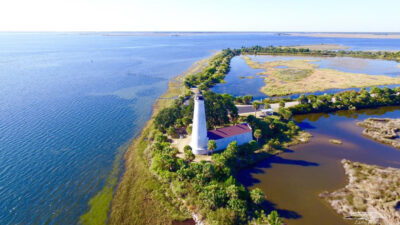
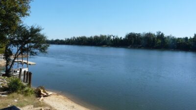
River photo: The Bushranger / Wikimedia Commons, CC BY-SA 4.0; image adapted for the page.
Featured Post for Apalachicola River