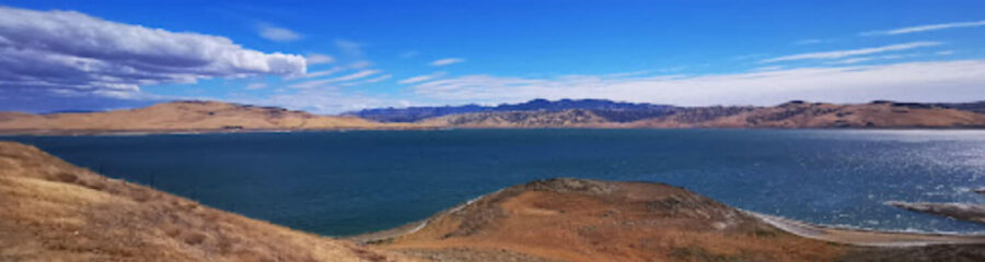
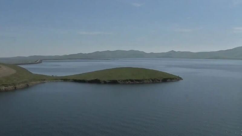
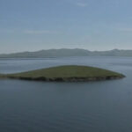
San Luis Reservoir is a large off-stream impoundment along Pacheco Pass west of Los Banos in California’s Merced County. The reservoir spans roughly 12,700 surface acres at full pool, while storage capacity is measured separately in acre-feet. The California State Parks recreation area includes San Luis Reservoir, O’Neill Forebay and Los Banos Creek Reservoir; rules and access can differ between these waters.
San Luis Reservoir fishing
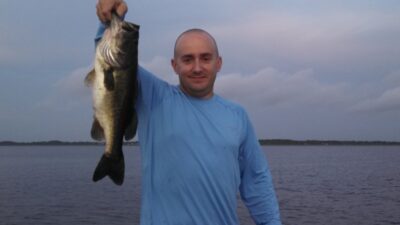
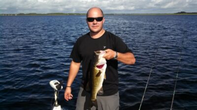
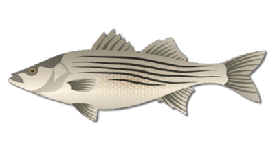
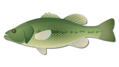
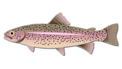
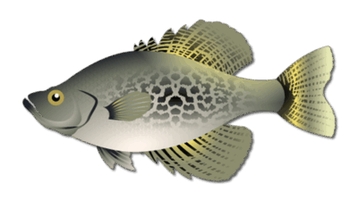
State Parks lists striped bass, black bass and trout as fishing opportunities in the recreation area. Check which water and access area suit the target species. Shoreline structure, points and wind conditions can affect where fish hold. See our striped bass and largemouth bass pages for general tactics.
Launches, wind and safety
Water levels can change rapidly and may affect launches. State Parks warns that strong winds can develop suddenly; watch the warning lights at Basalt, Quien Sabe Point and the Romero Visitor Center. Yellow means caution, while flashing red closes the water to boating. Call the park or check its current notice before a long drive. A California fishing license is required for anglers age 16 and older, and current state fishing regulations govern seasons and limits. Follow the park’s posted boating and invasive-species requirements.
Plan a trip from Hollister
Hollister is the closest established city page in our directory, while the reservoir itself is in Merced County. The park headquarters are at 31426 Gonzaga Road, Gustine; confirm the specific launch or meeting point for a booked trip. Our Hollister guide and California destinations provide regional context. Do not treat O’Neill Forebay rentals or the San Luis National Wildlife Refuge as access to the main reservoir without checking the operator’s location and rules.
Fishing areas and changing water
The main reservoir’s coves, rocky shores and points offer different presentations as storage levels rise or fall. Shore access at a given point may change substantially when water is drawn down. Striped bass anglers often cover open-water edges and follow bait activity; black bass anglers can examine structure and shoreline transitions. The park’s three waters are distinct: an O’Neill Forebay report should not be treated as a San Luis Reservoir report.
California State Parks’ information sheet lists fishing, boating and camping but instructs boaters to watch changing levels and wind. Ask park staff about the ramp intended for your boat and check any construction or seasonal notice. The park’s Basalt campground area has been listed as closed for repairs, so do not promise it as a current camping base. Plan a flexible backup for a wind closure.
Guide and family planning
Before booking, confirm the captain’s name, the exact water, the launch or shore meeting point, permitted vessel, and cancellation terms. Trips shown on this page are product listings; a live calendar is the authority for a specific date. Families can use State Parks’ visitor information to plan a picnic or campground stay, with the understanding that swimming and boating have separate safety rules. This is a large, exposed reservoir, so life jackets and wind alerts deserve attention even on a warm day.