
Best Seller


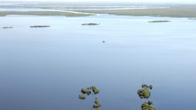
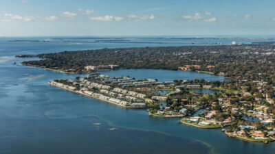
The Caloosahatchee River links Lake Okeechobee with Southwest Florida and the estuary near Fort Myers and Cape Coral. Its freshwater reaches, canals and shoreline cover offer a different fishing trip from the tidal water farther downstream. Choose the reach you intend to fish before selecting tackle, access and a guide.
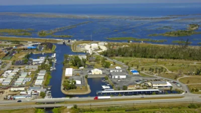
Lee County’s Caloosahatchee watershed information explains the modern waterway’s three controlling structures: Moore Haven, Ortona and Franklin locks. Franklin Lock near Olga separates the upstream freshwater river from the tidal estuary. Freshwater releases, rainfall and tides influence conditions, so a fixed description of the whole river as either freshwater or saltwater is misleading.
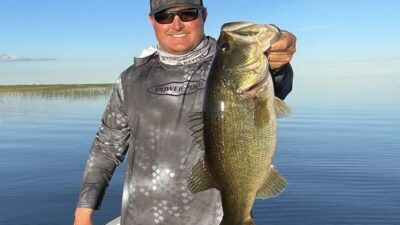
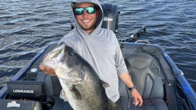
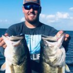
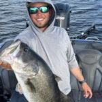
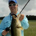
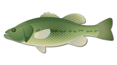
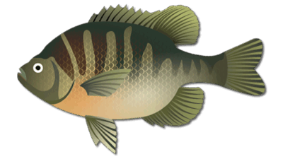
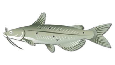
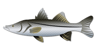
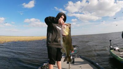
This page focuses on freshwater bass trips. In the upstream reaches, look for largemouth bass around vegetation, canal entrances and sheltered shoreline structure. Bluegill and catfish offer other freshwater options. Snook can occur in the river system, but targeting them requires a suitable trip and a separate review of applicable regulations; a bass charter does not promise a snook trip.
The established local approach is to work canal mouths, available grass edges and transitions between shallow cover and deeper water. Start with manageable sections rather than covering every mile of river. Soft plastics, moving lures and live-bait presentations can suit different cover and current conditions; ask your guide what is appropriate for the planned reach.
Fish can respond to changing discharge and water clarity. A sheltered canal or bank may provide a useful alternative when exposed main-channel conditions are less favorable. Seasonal patterns are a planning guide, not a prediction of a particular catch. Cooler weather and spring warming can make shallow-cover bass fishing attractive; during hotter periods consider early starts and shaded cover.
Caloosahatchee Regional Park at 19130 North River Road, Alva, lists fishing, a pier or dock and paddlecraft access. This park is a bank-fishing and paddling option, not a substitute for confirming a trailered-boat ramp. Lee County publishes current gate hours, parking information and closures on the park page.
The park also offers trails and primitive camping. Review current facility information before planning a combined fishing and camping visit. River flow, wind and boat traffic can affect a paddling trip, so choose an outing suited to your craft and experience.
The listed four- and six-hour bass trip options lead to the provider’s Caloosahatchee River products. Use them to check current trip details and availability, then confirm the meeting point and intended river reach with the captain. A location map alone does not establish that every launch is suitable on your chosen date.
Review FWC freshwater fishing regulations and the rules for any other species or tidal reach you intend to target. License requirements and species rules should be checked for the actual fishing activity rather than assumed to be identical throughout the waterway.