 Guides Wanted
Lake Winder
0 Reviews
Quick Summary
Lake Winder is a shallow 1,496-acre Upper St. Johns River lake in Brevard County. Explore vegetation and depth transitions for bass, check River Lakes access, and plan for changing water levels and an extended boat run.
Top Fishing Guides on Lake Winder
Guides WantedLake Winder Reviews
Top Target Species on Lake Winder
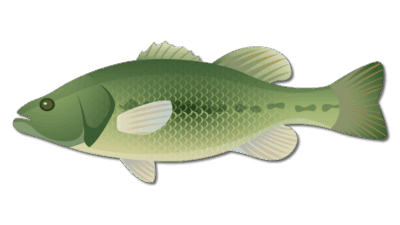
Largemouth Bass
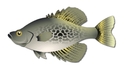
Crappie
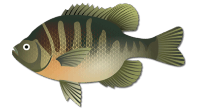
Bluegill
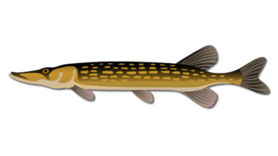
Chain Pickerel
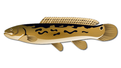
Bowfin Fish
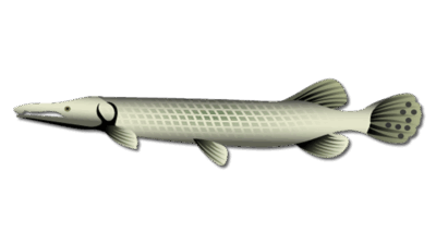
Florida Gar

Frequently Asked Questions about Lake Winder
Where is Lake Winder?
Lake Winder is in Brevard County within the Upper St. Johns River system, between Lake Washington and Lake Poinsett.
Can I drive to a direct Lake Winder boat ramp?
Plan access through the connected River Lakes system and verify the chosen launch with SJRWMD. A regional ramp may require an extended boat run to Lake Winder.
What fishing patterns should I explore?
Vegetation edges, southern river-entry cover and eastern depth transitions are starting points. Adjust to current water level, clarity and cover rather than relying on fixed depths.
Does a regional fishing charter necessarily visit Lake Winder?
No. Confirm Lake Winder coverage, the launch and the route with the operator before reserving.
Fishing Lake Winder
Lake Winder is a shallow 1,496-acre lake in Brevard County, between Lake Washington and Lake Poinsett in the Upper St. Johns River system. Marsh vegetation, river flow and seasonal water levels shape access and fishing. See the FWC Upper St. Johns fishing forecast for dated regional guidance.
Lake Winder fishing patterns
The western half of the lake and the southern river entrance are useful areas to investigate for open-water vegetation and bass cover. Vegetation can obscure the river route, so use current navigation information rather than assuming a clear channel. Explore openings and edges with soft plastic worms, spinnerbaits or shallow crankbaits matched to depth and water clarity.
Earlier fishing guidance describes shell beds on small rises along the eastern side, near transitions from roughly two or three feet into four to six feet. Treat that description as a pattern to investigate with your depth finder: water level, vegetation and bottom visibility can change. Avoid assuming those depths or shell locations are fixed today.
During warm weather, lipless and other shallow crankbaits can help search for baitfish and active bass. In late winter and spring, compare shallow grass openings with nearby deeper water and adjust after cold fronts. Topwater lures may be useful in low light where surface vegetation permits; slower soft plastics provide another option around cover.
Crappie and panfish are also part of the connected river system. If those are your target, compare conditions on Lake Poinsett rather than assuming all nearby lakes fish alike. The wider St. Johns River fishing guide explains the broader waterway.
Boat access and navigation
Reaching Lake Winder can involve an extended run through the River Lakes system. The SJRWMD River Lakes recreation guide identifies access around State Road 520, U.S. 192 and Lake Washington County Park. Check the chosen launch, route length, fuel reserve and current water levels before leaving. Do not interpret a regional access point as a direct ramp on Winder’s shoreline.
Marsh habitat and wildlife
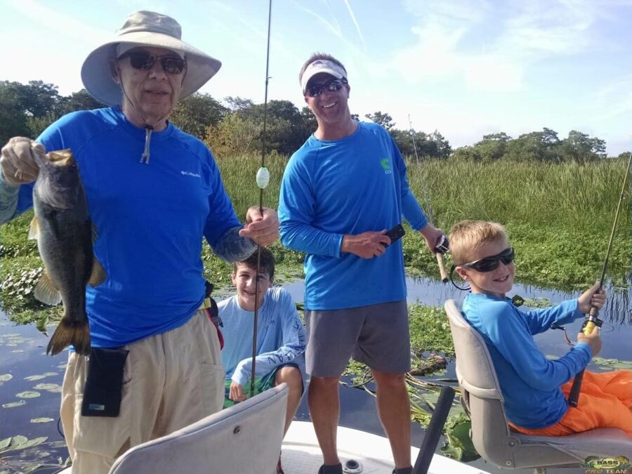
The River Lakes landscape includes lakes, wetlands, trails and primitive camping opportunities. Emergent vegetation and open marsh support wildlife viewing as well as fishing. Use the district’s current recreation information for permitted access and camping arrangements. The gallery photograph is a regional St. Johns fishing image, rather than a documented Lake Winder catch.
Planning your fishing day
Cooler months and spring offer useful seasonal planning windows, but wind, water levels and fronts matter more than a fixed calendar prediction. Confirm that a guide specifically serves Lake Winder before reserving a regional charter. Review current FWC freshwater fishing regulations for license and harvest requirements.
Area map
Featured Post for Lake Winder