 Guides Wanted
Catfish Creek

0 Reviews

Quick Summary
Catfish Creek runs from Lake Pierce toward Lake Hatchineha in the Kissimmee watershed. Distinguish the preserve's hike-in fishing ponds from the water-access-only Catfish Creek recreation area and nearby lake ramps.
Top Fishing Guides on Catfish Creek
Guides WantedCatfish Creek Reviews
Top Target Species on Catfish Creek
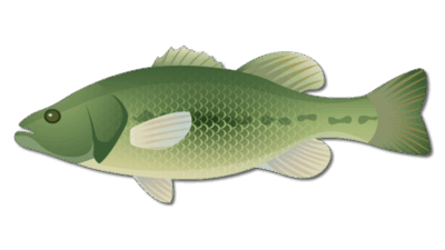
Largemouth Bass
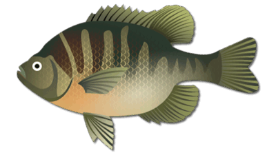
Bluegill
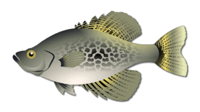
Crappie
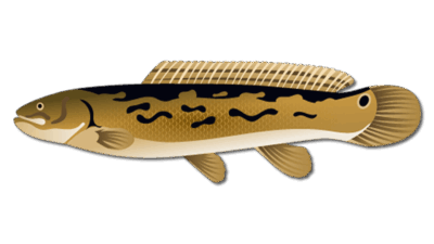
Bowfin Fish
Nearby Cities to Catfish Creek

Frequently Asked Questions about Catfish Creek
Where does Catfish Creek flow?
The Polk County Water Atlas identifies Lake Pierce as its headwaters and Lake Hatchineha as its mouth in the Kissimmee watershed; it lists about 9 miles within the atlas.
Can I fish inside Catfish Creek Preserve State Park?
Florida State Parks describes pond fishing reached by an approximately one-mile hike from the parking lot. Follow current fishing and park rules.
Does the preserve have a confirmed drive-up creek boat ramp?
This page does not verify one. The preserve's hike-in ponds and the SFWMD Catfish Creek recreation area have different access arrangements.
How do I reach the SFWMD Catfish Creek area?
SFWMD says the recreation area is accessible only from the water and lists nearby ramps at Port Hatchineha and Camp Mack.
Are paddling conditions reliable year-round?
No. Water levels affect creek passage; SFWMD describes paddling along the cypress strand when water is high. Confirm conditions and a return route before launching.
Are the species and guide cards exact creek assignments?
Species cards are regional Kissimmee freshwater references, not a current creek survey. Confirm the exact fishing location with a regional guide; no creek-specific booking product is verified here.
Fishing Catfish Creek
Catfish Creek is a Central Florida freshwater stream linking Lake Pierce and Lake Hatchineha in Polk County’s Kissimmee watershed. The Polk County Water Atlas describes roughly 9 miles of stream within its coverage. This page covers the creek and associated preserve fishing ponds; one lake acreage would not describe those separate waters.
Catfish Creek Fishing and Habitat
Vegetation edges, shaded banks and changes in depth are useful places to assess when lawful access and water conditions permit. Use presentations suited to the cover: weedless soft plastics can work around vegetation, while small panfish tackle suits accessible pond banks. These are general freshwater approaches, not a current catch report or a guarantee.
The species cards are regional Kissimmee freshwater identification references. They should not be read as a verified current survey of every creek reach or preserve pond. For broader bass-fishing planning, compare Lake Hatchineha fishing information and Lake Wales trip options.
Preserve Pond Fishing
Allen David Broussard Catfish Creek Preserve State Park is one preserve, rather than two separate parks with similar names. Florida State Parks describes fishing in preserve ponds reached by an approximately one-mile hike from the parking lot. Pack water and suitable footwear and check the park’s current instructions. This hike-in pond access does not establish a drive-up creek boat ramp.
Creek and Lake Hatchineha Access
The SFWMD Catfish Creek recreation area is accessible only from the water. The district lists Port Hatchineha at 15050 Lake Hatchineha Road, Haines City, and Camp Mack at 14900 Camp Mack Road, Lake Wales, as nearby ramps. These are separate from the preserve’s hike-in ponds; check the appropriate operator before traveling.
SFWMD describes canoeing or kayaking along the cypress strand when water levels are high. Passage can change with water levels and vegetation. Confirm launch conditions and a safe return route, carry suitable boating equipment and avoid approaching wildlife. Do not assume the entire creek is navigable by motorboat.
Plan a Freshwater Fishing Visit
Follow current FWC freshwater regulations and license requirements, plus posted park, water-management and ramp rules. Respect private shoreline and use designated access. Ask regional guides such as Capt. Steve Niemoeller to confirm the exact fishery and access before reserving; no creek-specific booking product is verified here.
Catfish Creek Map
Featured Post for Catfish Creek