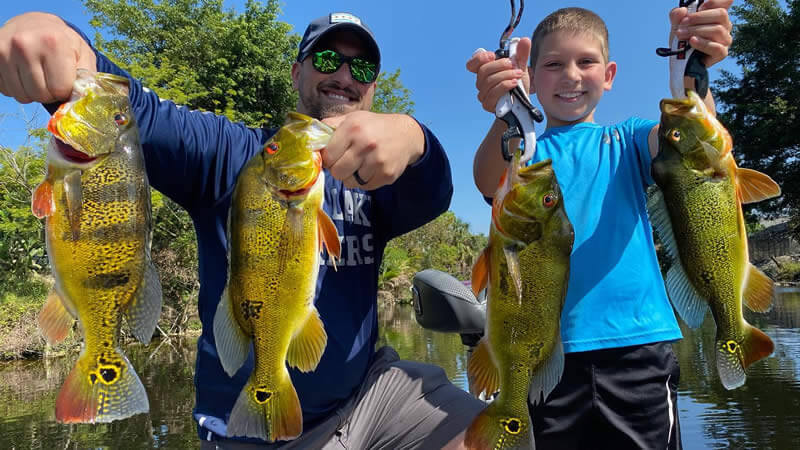

Finding a good fishing spot near you starts with access, not a secret coordinate. The best local water is a place you can legally reach, fish safely, and understand well enough to make a useful plan. This guide shows how to combine public-access directories, satellite imagery, contour maps, local regulations, and simple observations at the water.
Published: October 10, 2021 | Updated: September 11, 2026
Table of Contents
The Fastest Way to Find Fishing Spots Near You
Start with a map built for anglers, then verify each location with the agency that manages it. The Take Me Fishing places map can surface nearby fishing access, boat ramps, license information, and target species across the United States. Bass Online’s Cities directory and Lakes directory help narrow the search by state, city, waterbody, and species.
Do not assume a shoreline visible on a map is public. Confirm ownership, parking, hours, launch rules, and any permit requirements before leaving home. A productive-looking pond behind a fence is not a fishing spot unless the owner or managing agency allows access.
How to Find Legal Public Fishing Access
1. Search the Managing Agency First
State fish and wildlife agencies, county parks, municipal recreation departments, national forests, and public water authorities often publish access maps and regulations. Search for the waterbody name plus terms such as public access, fishing regulations, boat ramp, park hours, or shoreline fishing. Give an official agency page more weight than an old forum post or an unverified map pin.
2. Verify the Access Details
Before you travel, confirm whether the site has a public ramp, pier, bank access, restroom, gate, parking area, or launch fee. Check whether gasoline motors, electric motors, kayaks, or night fishing are restricted. If the information is unclear, call the managing office. This short check prevents trespassing, closed-gate surprises, and unsafe launches.
3. Match the Water to the Fish You Want
A nearby waterbody is useful only if it supports the species and style of fishing you want. Check stocking reports, creel surveys, lake profiles, or species lists from the responsible agency. Bass Online’s fish species directory can help you compare habitat preferences before choosing a lake, river, canal, reservoir, or coastal access point.
Use Satellite and Contour Maps Before the Trip
Satellite View for Visible Cover and Access
Satellite imagery can reveal parking areas, paths, docks, points, creek arms, vegetation edges, bridges, riprap, and fallen trees. It can also show how far you may need to walk and whether a shoreline is steep, developed, or heavily vegetated. Compare the newest imagery with older views when available because water levels and vegetation can change.
Map imagery is a scouting aid, not proof of public access or safe depth. Property lines may be unclear, and a shallow-looking route can contain rocks, stumps, or changing bottom contours.
Contour Maps for Underwater Structure
Bathymetric or contour maps help identify points, humps, ledges, creek channels, flats, and sharp depth changes. These features can guide a starting plan, especially on reservoirs and natural lakes. Treat contour lines as an estimate until you confirm conditions on the water. Maps vary in age and resolution, and water levels can make a marked depth inaccurate.
What Makes a Fishing Spot Productive
Cover, Structure, and Forage
Productive areas commonly combine cover, structure, and food. Cover includes vegetation, docks, brush, timber, and overhanging trees. Structure describes changes in the bottom such as points, channels, humps, drop-offs, and rock transitions. Forage may appear as visible baitfish, insect activity, panfish, diving birds, or predator activity.
The strongest clue is often an edge where two features meet: vegetation beside open water, rock meeting sand, a channel touching a flat, or shade next to sunlit water. These transition zones give fish a travel route, an ambush point, or both.
Current, Oxygen, and Water Movement
Moving water can concentrate food and improve oxygen conditions. In rivers, look for current seams, eddies, pools, bridge pilings, and the downstream side of rocks. In lakes and canals, inflows, culverts, wind-blown shorelines, and healthy vegetation can be useful starting points. Avoid stagnant areas with foul odors, visible pollution, or distressed fish.
Season and Water Level
A spot that produces in spring may be empty in late summer or winter. Fish reposition as water temperature, daylight, current, water level, vegetation, and spawning activity change. Keep notes from each trip so the same map becomes more valuable over time.
Finding Good Bank and Shoreline Fishing
Choose Access Before Tackle
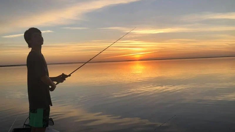
For bank fishing, prioritize legal entry, stable footing, room to cast, and a safe route back after dark. Public piers, park shorelines, canal banks, bridges with designated access, and paths near deeper water can all be productive. Avoid steep banks, private docks, unstable riprap, active road shoulders, and areas posted against fishing.
Read the Water Before You Cast
Approach quietly and look for baitfish, surface activity, shade, vegetation openings, current breaks, and deeper water close to shore. Start with short casts parallel to the bank before casting toward open water. Then cover the area methodically. For a complete shoreline approach, use the bank-fishing tactics guide; for lure selection that helps locate active fish, see the search-bait guide.
Boat and Kayak Access Checks
Inspect the Ramp and Launch Conditions
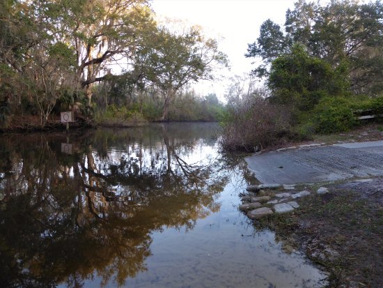
A public ramp may still be unsuitable for a particular boat. Check water depth, ramp grade, surface condition, trailer parking, operating hours, and recent closure notices. Kayak launches may have different rules or a separate access point. Never block a ramp while preparing gear.
Use Maps for Planning, Not Navigation Alone
Satellite and contour maps help with route planning, but they do not replace local markers, current water-level information, a proper navigation chart, or safe boat operation. Watch for submerged timber, shoals, restricted zones, changing current, and weather. Save the launch location offline and carry the safety equipment required for the watercraft and jurisdiction.
Freshwater and Coastal Spots Need Different Checks
Lakes, Ponds, Rivers, and Canals
In freshwater, compare access with habitat. Lakes and reservoirs often reward attention to points, channels, vegetation, and seasonal depth changes. Rivers demand more respect for current, changing water levels, and debris. Small ponds can be excellent, but only where access is authorized and the fishery is managed or naturally sustainable.
Coastal Water, Tides, and Current
For coastal access, tide and current can determine whether a shoreline, pass, bridge, or flat is fishable. Review official local predictions through NOAA Tides and Currents, then account for wind, weather, waves, and site-specific warnings. Tide tables describe predicted water movement; they do not guarantee safe conditions or fish activity.
Licenses, Regulations, and Responsible Access
Fishing rules vary by state, waterbody, species, season, and method. Check the current managing-agency regulations every time you visit unfamiliar water. The U.S. Fish and Wildlife Service license guide directs anglers toward state-specific requirements and explains how license revenue supports fisheries, habitat, and public access. Bass Online also maintains a state fishing-license directory.
- Confirm the correct freshwater or saltwater license and any local permit.
- Check seasons, size limits, bag limits, legal gear, protected species, and special management zones.
- Respect posted boundaries, private property, quiet hours, and launch rules.
- Pack out line, hooks, bait containers, and other trash.
- Clean, drain, and dry boats and gear where invasive-species guidance requires it.
A Repeatable Local Scouting Plan
- Define the trip: choose the species, bank or boat access, travel radius, and available time.
- Build a short list: use official access maps plus the Bass Online city and lake directories.
- Verify legality: confirm ownership, hours, parking, permits, and fishing rules.
- Scout remotely: mark access points, cover, structure, current, depth changes, and safe routes.
- Check conditions: review weather, water level, tide, ramp notices, and recent agency updates.
- Fish a pattern: test several high-percentage features instead of staying at one unproductive spot.
- Record the result: note date, water conditions, location type, depth, lure, and fish activity.
This process is more reliable than chasing an online “secret spot.” It builds local knowledge that improves with every trip and remains useful even when conditions change.
Explore Fishing Locations and Local Guides
Use the Cities directory to find nearby destinations and the Lakes directory to filter waterbodies by location and species. For a broader trip, the United States fishing guide compares major regions and destination types without replacing this local-access workflow.
A professional guide can shorten the learning curve on a complex or unfamiliar fishery. Browse local fishing guides when you want instruction, boat access, or an efficient introduction to a destination. A guide does not replace the need to understand current licenses and regulations.
Frequently Asked Questions
Can Google Maps Help Me Find Fishing Spots?
Yes. Satellite view can reveal waterbodies, access roads, ramps, docks, vegetation, points, and shoreline paths. Use it to create candidates, then verify public access and current rules through the managing agency.
How Do I Know Whether a Fishing Spot Is Legal?
Look for an official park, agency, or waterbody page that identifies public fishing access. Confirm posted signs when you arrive. If ownership or access is uncertain, contact the managing office or property owner before fishing.
Do I Need a Fishing License at a Public Spot?
Often, but requirements and exemptions vary. Public access does not automatically mean license-free fishing. Check the current rules for the state, species, waterbody, and angler before the trip.
What Makes a Good Bank-Fishing Spot?
Look for legal access, safe footing, room to cast, nearby depth, and fish-holding features such as vegetation edges, shade, docks, rock, current breaks, or submerged timber. A spot is better when several of those features meet.
Do I Need a Boat to Reach Good Fishing?
No. Piers, canals, rivers, ponds, parks, bridges with designated access, and lakes with public shoreline can all offer productive fishing. A boat expands access, but careful bank scouting can reach fish that hold close to shore.
Plan the Spot Before You Fish It
The best fishing spot near you is not automatically the closest or most famous water. It is the place where legal access, safe conditions, suitable habitat, and your target species line up. Verify the rules, study the map, choose several starting areas, and let observations at the water refine the plan.

I would like to know where to fish any where near the the Redondo Beach area. Just moved here and need fishing info. Frinds would be great too.
Hi Stanley, Unfortunately not a lot of good freshwater fishing in the area. Try the local reservoir and retention ponds, the ones that are accessible. The best big bass fishing is going to be east near Corona where there are much bigger reservoirs. Let us know if find something!